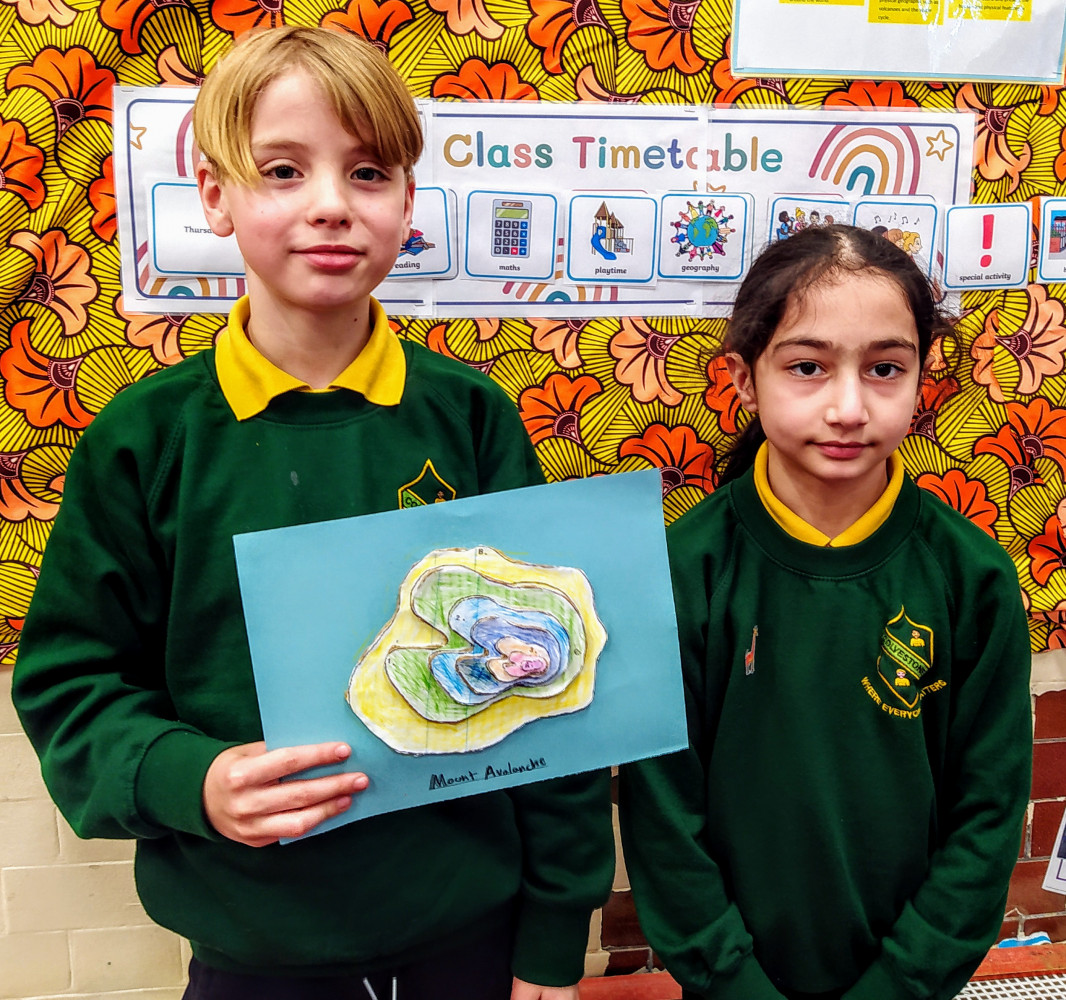
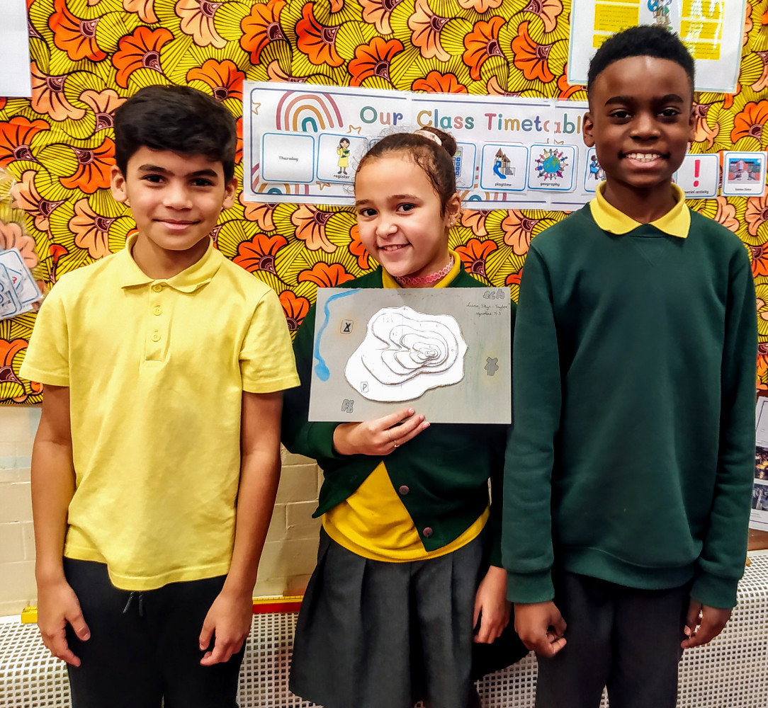
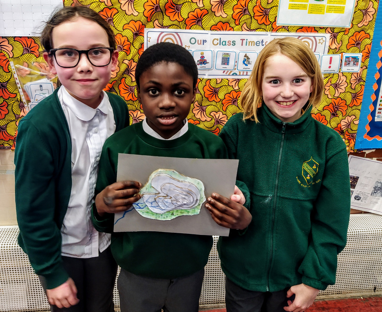
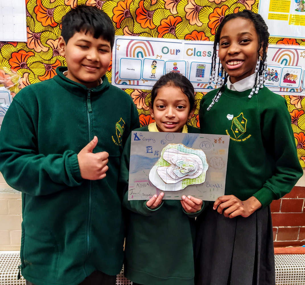
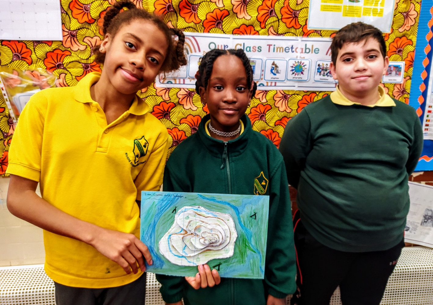
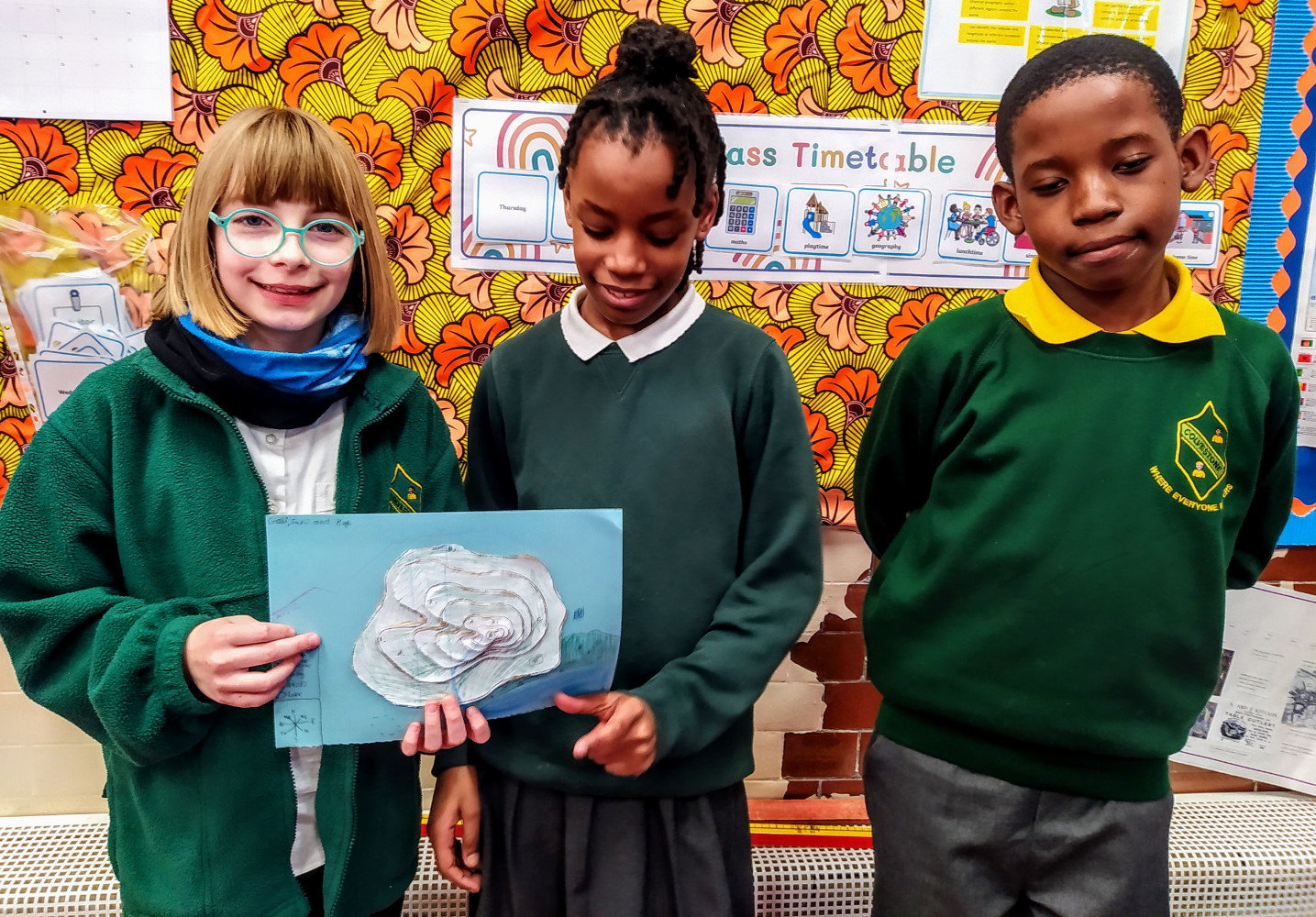
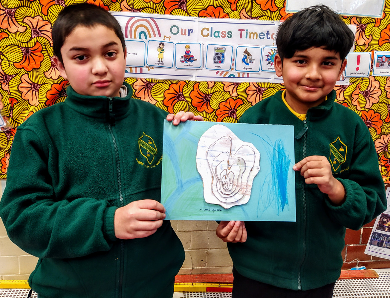
As a continuation of their Geography work, Year 5 are answering the question "What can a map tell me about a mountain?" We have looked at Ordnance Survey maps and found out about the different symbols used including the contour lines, which show how steep the land. We made 3D models of a mountain using the contour lines to help us and added some symbols from an O.S. map.
Year 5 - Geography: What can a map tell me about a mountain?
Comments
No comments yet